A Journey to Sandakphu for the Trail Run
7 comments
This May I was in the state of West Bengal located in the east of India. My reason for being here was a trail run held here every year. Around 250 runners participated in this event and the runners passed through Rimbic village to reach Sandakphu which is the highest peak of West Bengal, whose height is 3636 meters above sea level. The world's highest peak is also visible from Sandakphu. If the weather is clear then high peaks like Everest, Lohtse, Makalu and Kanchenjunga are clearly visible from here.
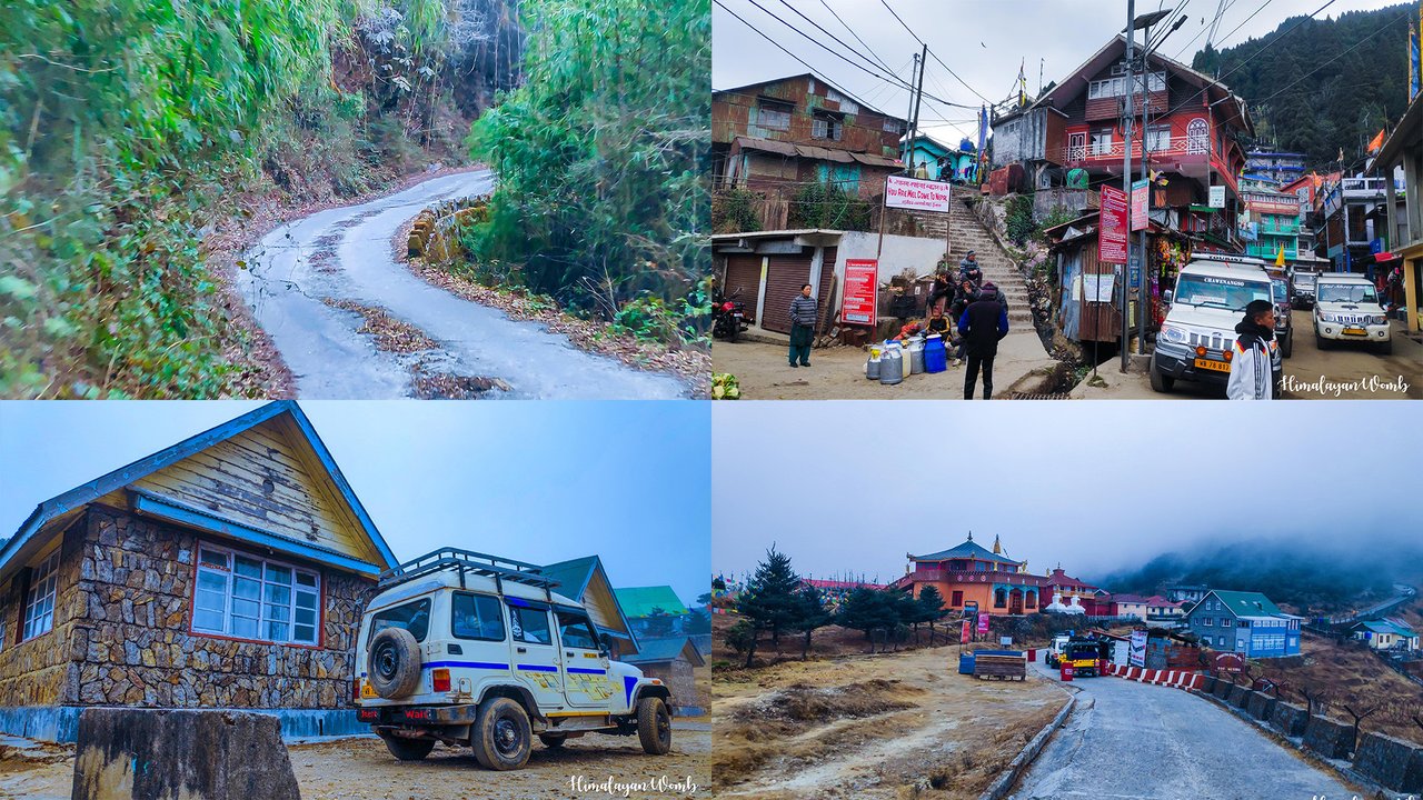 Collage created in adobe photoshop
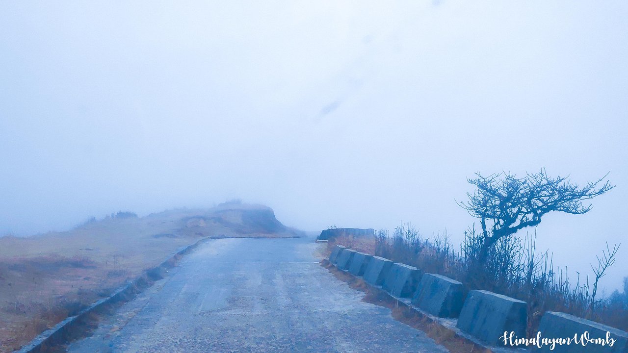
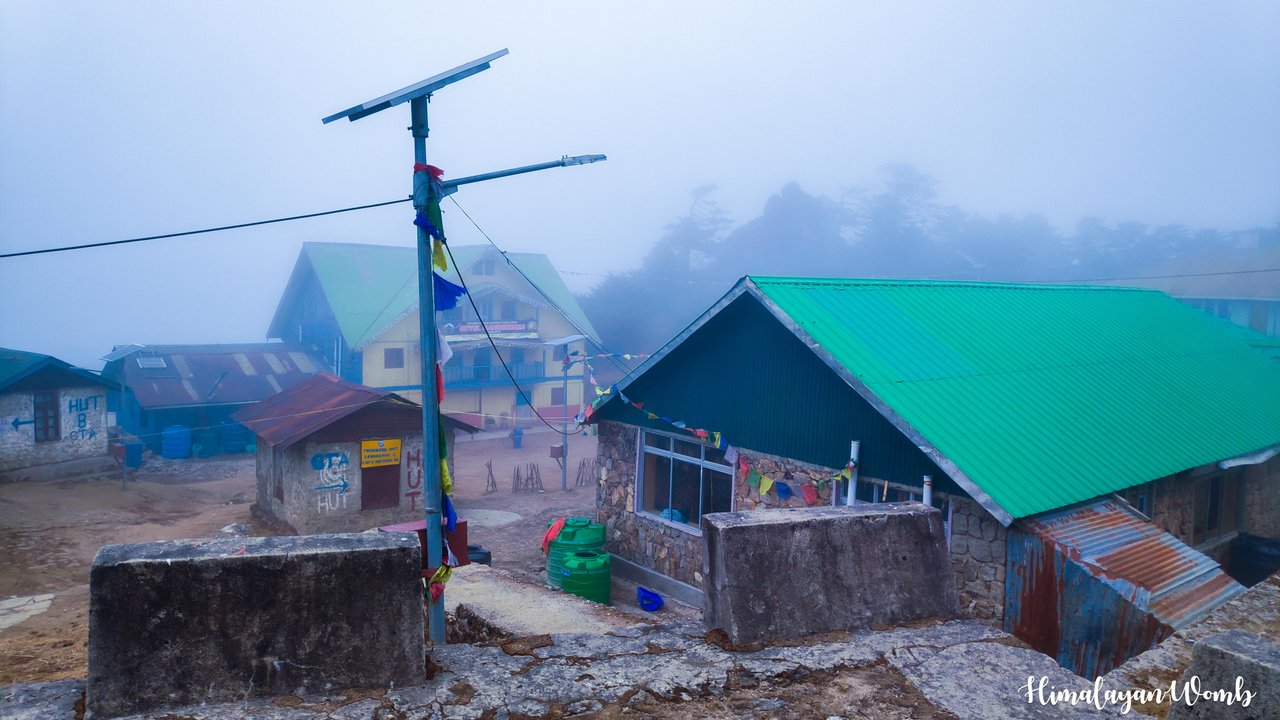
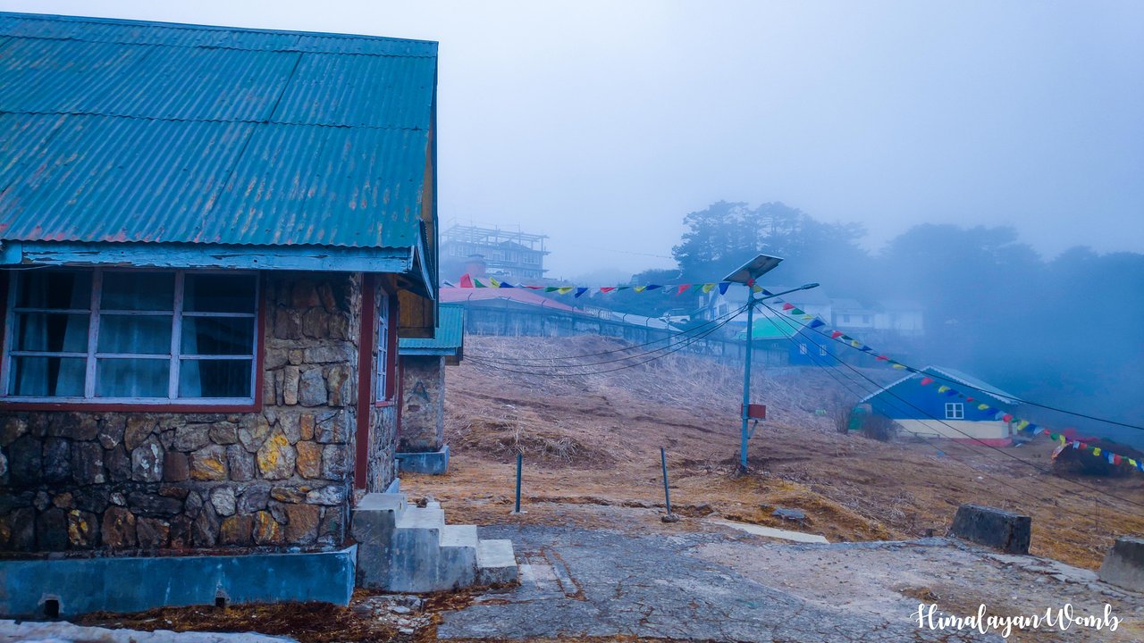
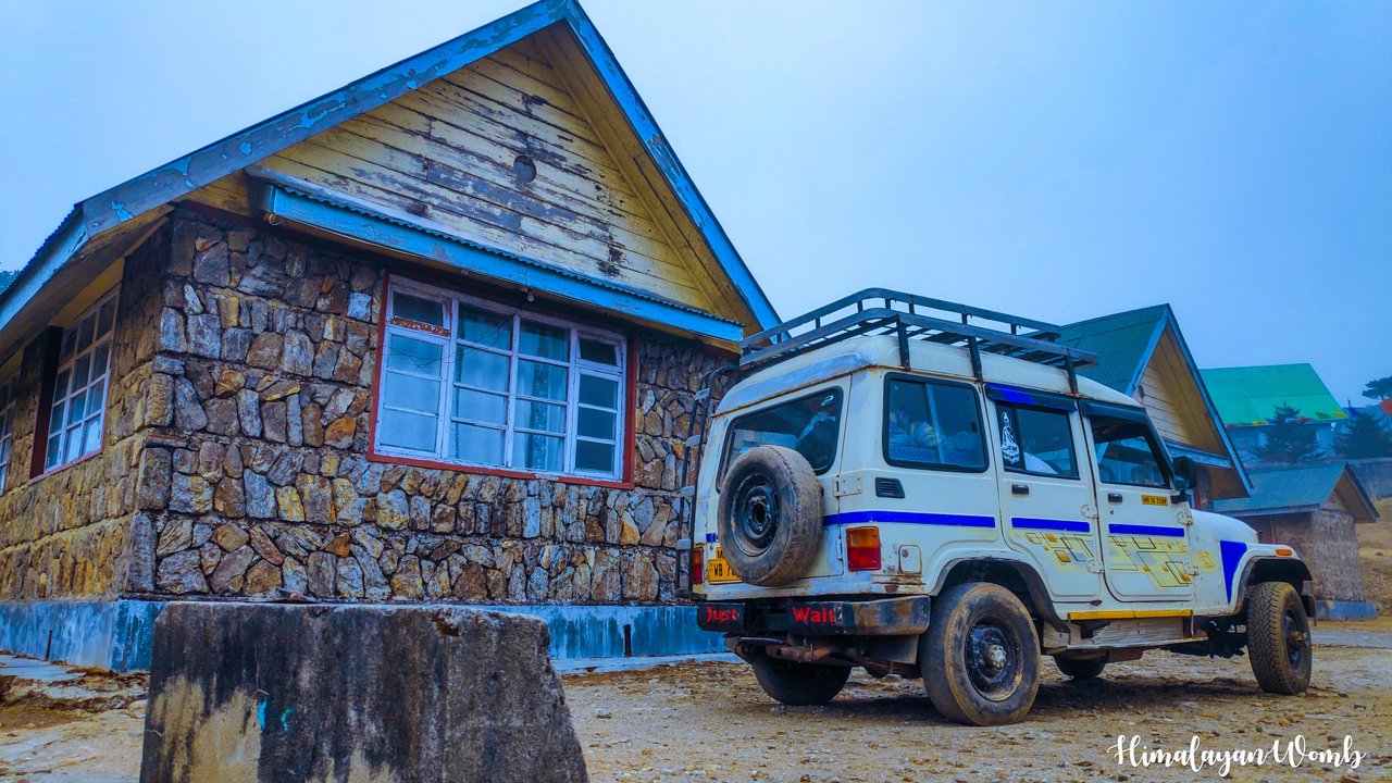
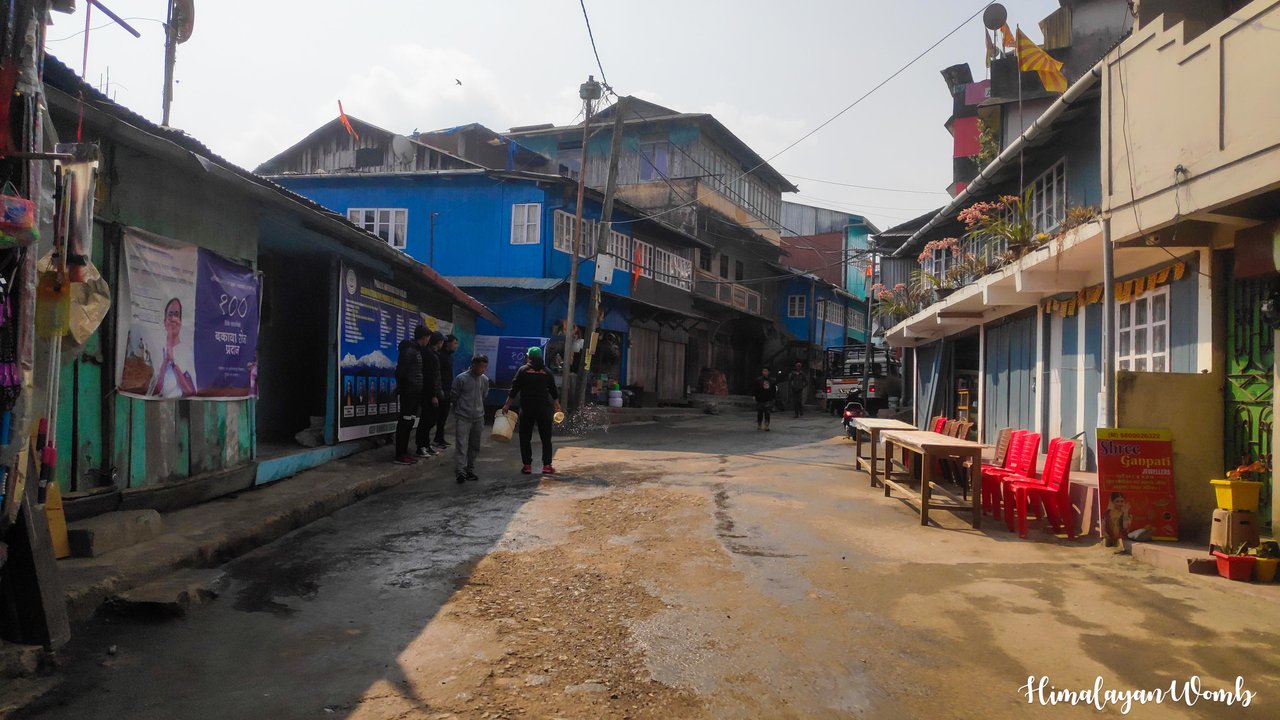 Rimbick, India
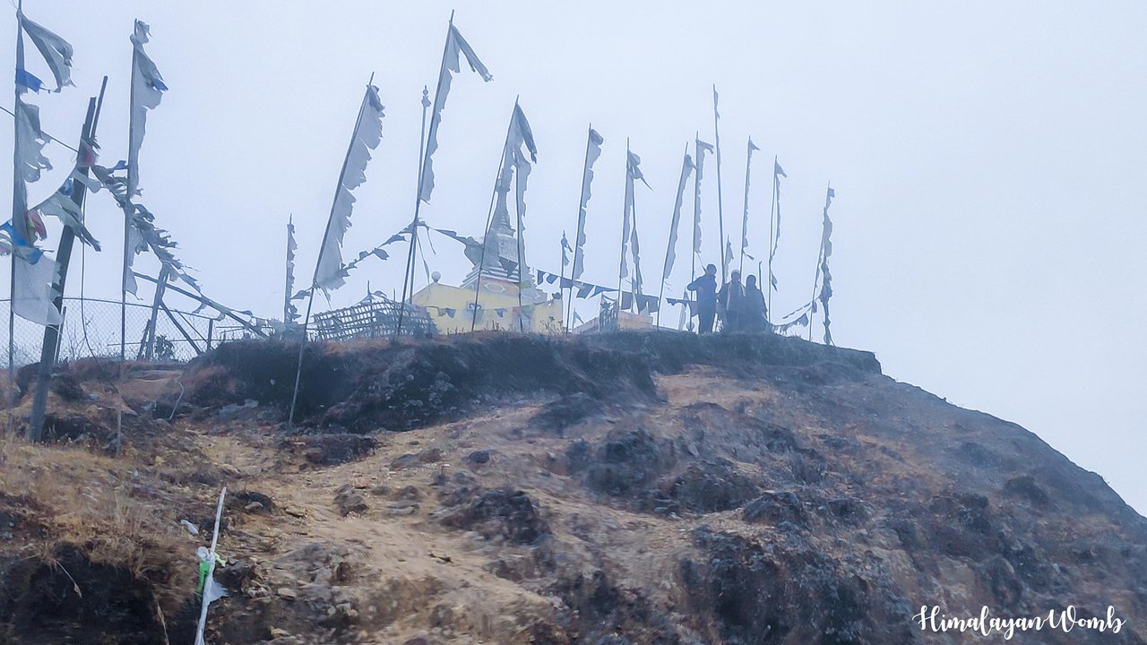
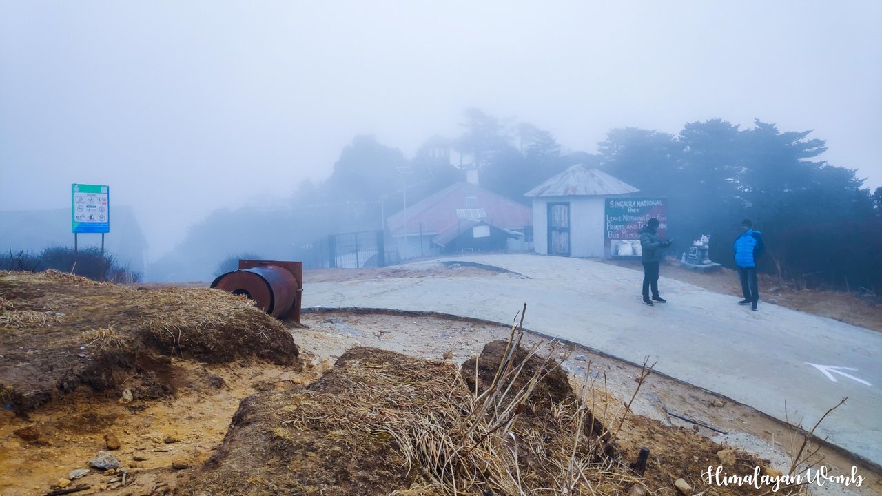
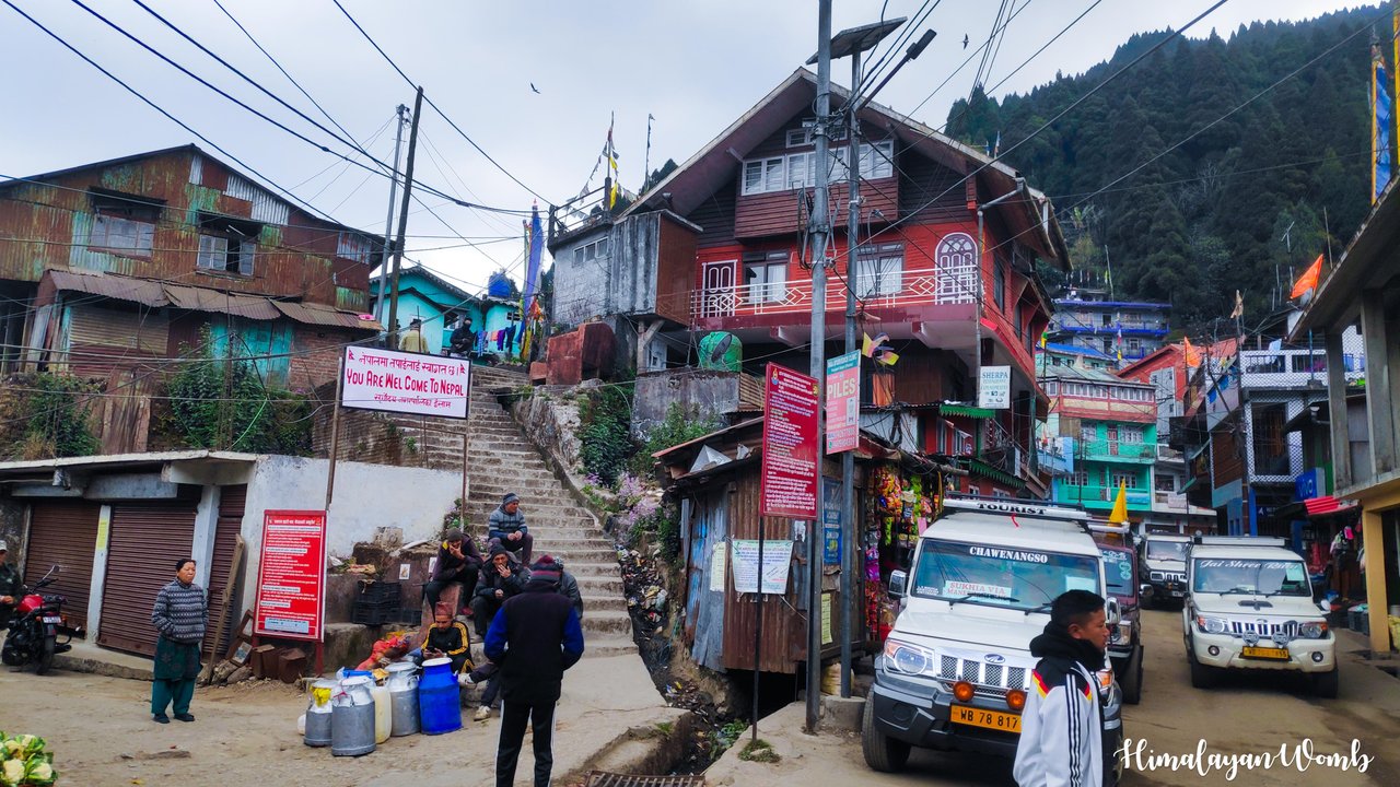 India-Nepal Border
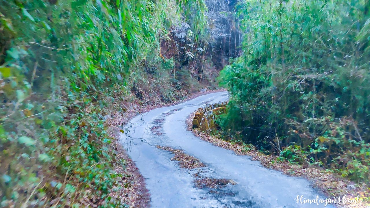
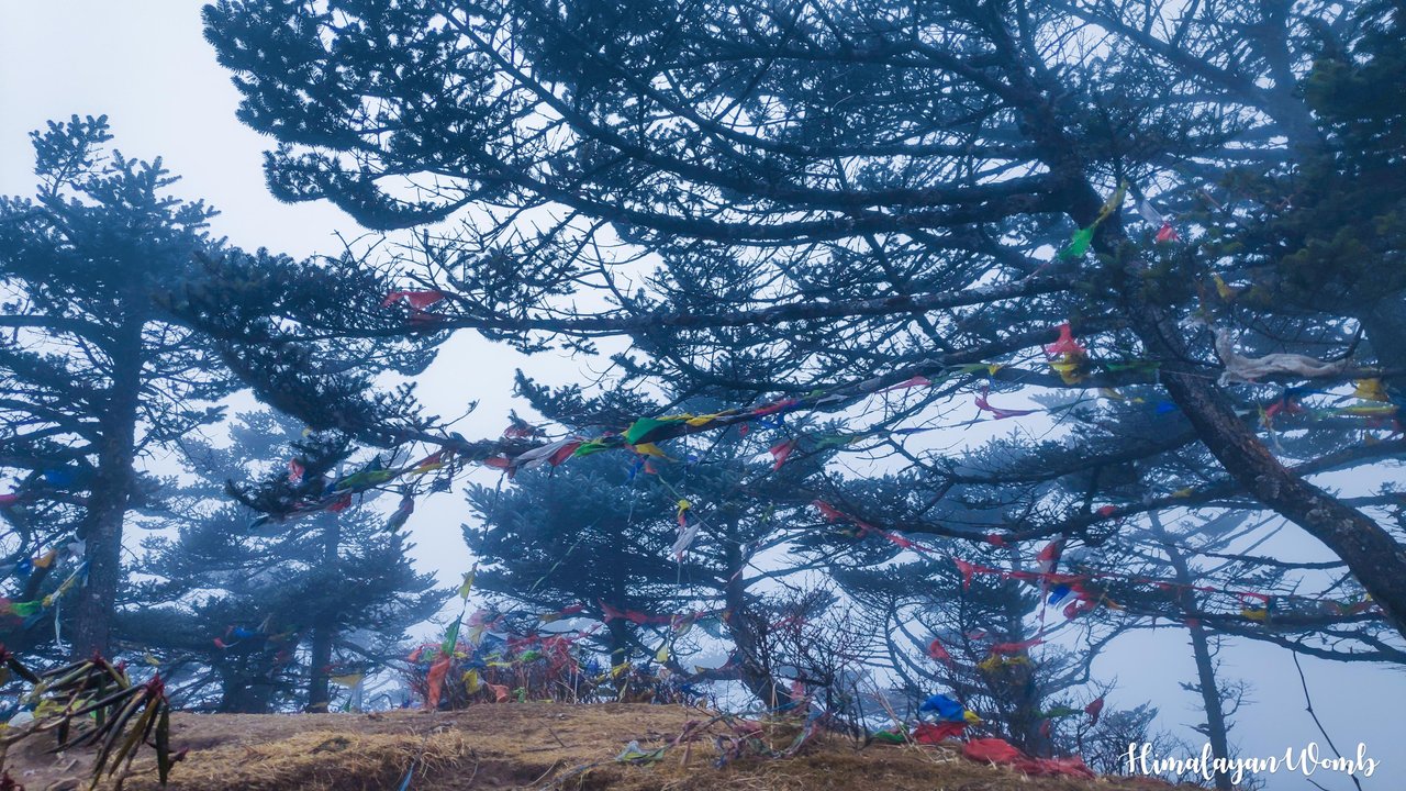
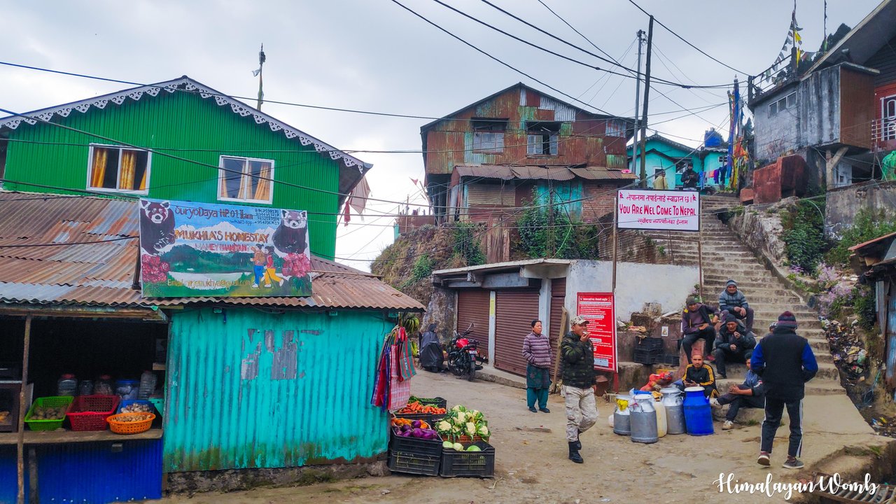 Nepal village
My job in this event was to set up 4 hydration points located on the Sandakphu Ridge and buy hydration for the runners from the bottom up. I was in Rimbik whose height is 1850 meters. After having breakfast in the morning I had to leave for Manebhanjan. The organizer gave me money to buy a hydrant and I left for Manebhanjan which is 42.8 km from Rimbik. There were two other boys in the car with me. It took us one and a half hour to reach Manebhanjan.
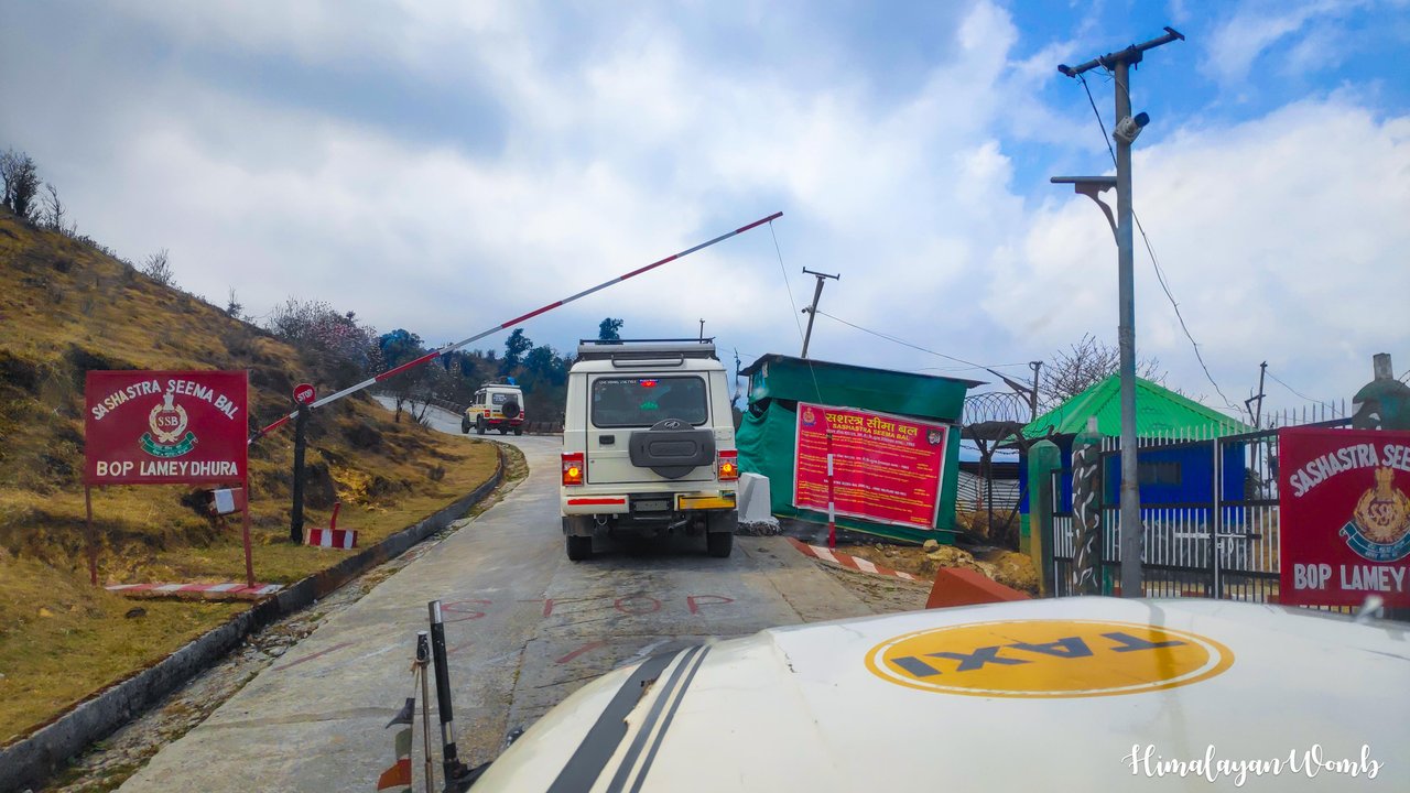
Manebhanjan is a village situated on the international border of India and Nepal, whose height is 1928 meters. We reach here at 12 noon and as soon as we get down from the car, we start buying hydration to take to Sandakphu. We buy water, bananas, oranges, electroal powder, chocolate, eggs, potatoes, medical kits, toffee, salt, bread and peanut butter from here. It takes us about one and a half to two hours for all this shopping. It also takes some time for us to load all this hydration into the car.
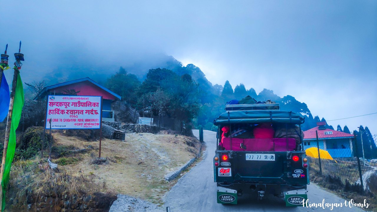
From here a media person also joins us who will do videography in the event starting tomorrow. We take another car on rent from Manebhanjan. No one can go to this ridge through Manebhanjan. One can go here only by registered car which gets permit from Border Security Force and West Bengal Forest Department. The driver of our car had already taken the permit and after loading the luggage, we started climbing the mountain.
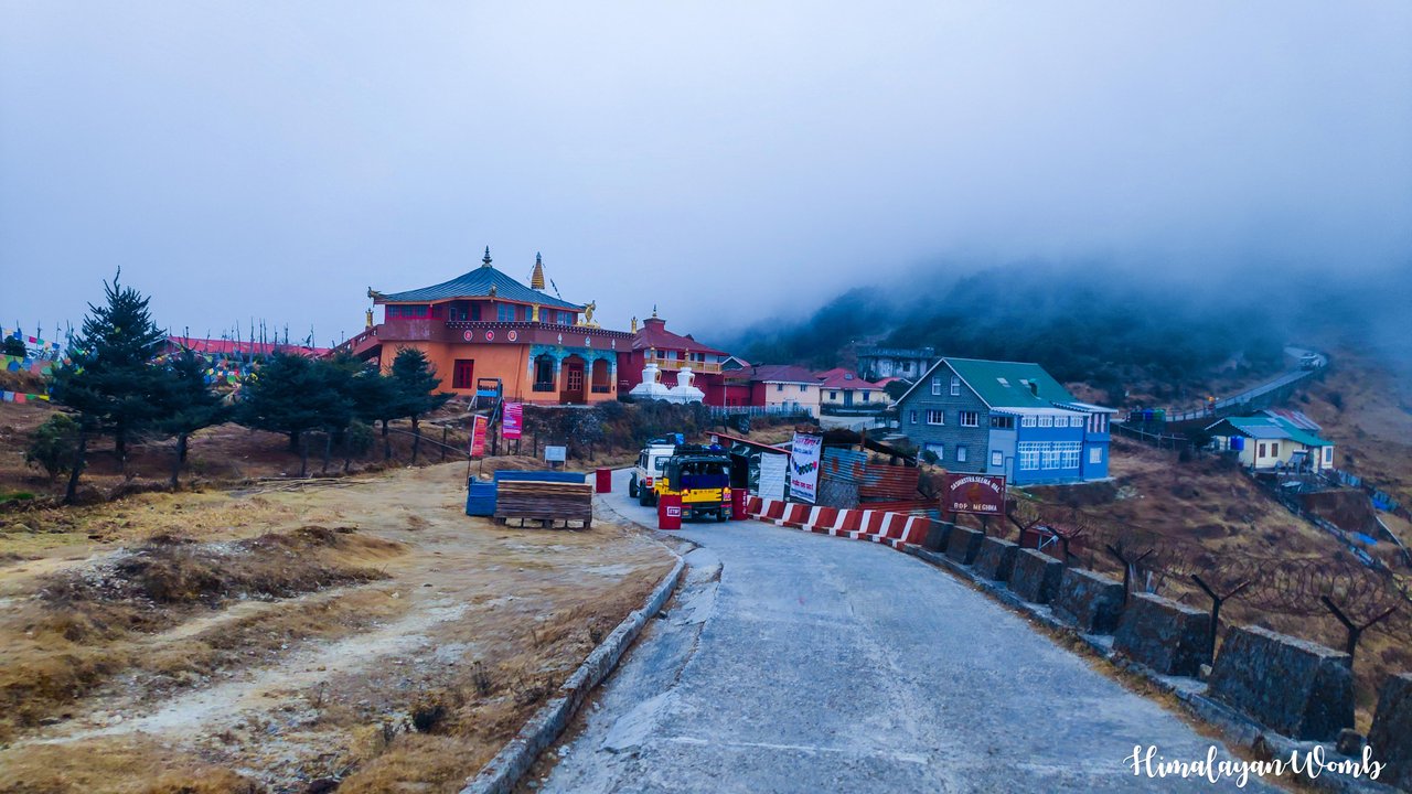
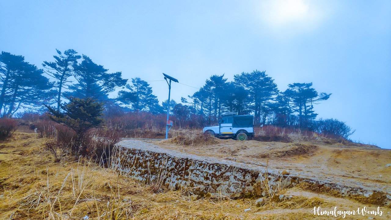
At many places on the way, the Border Security Force checks the permits issued from below. Gradually the altitude is increasing and so is the cold. We have come from 2000 meters to 2400 meters in just a few kilometers. Sandakphu is 32 km from Manebhanjan. This road is very inaccessible and only 4x4 cars can drive here. We cross stations on the way where tourists stop for night stay or to have food.
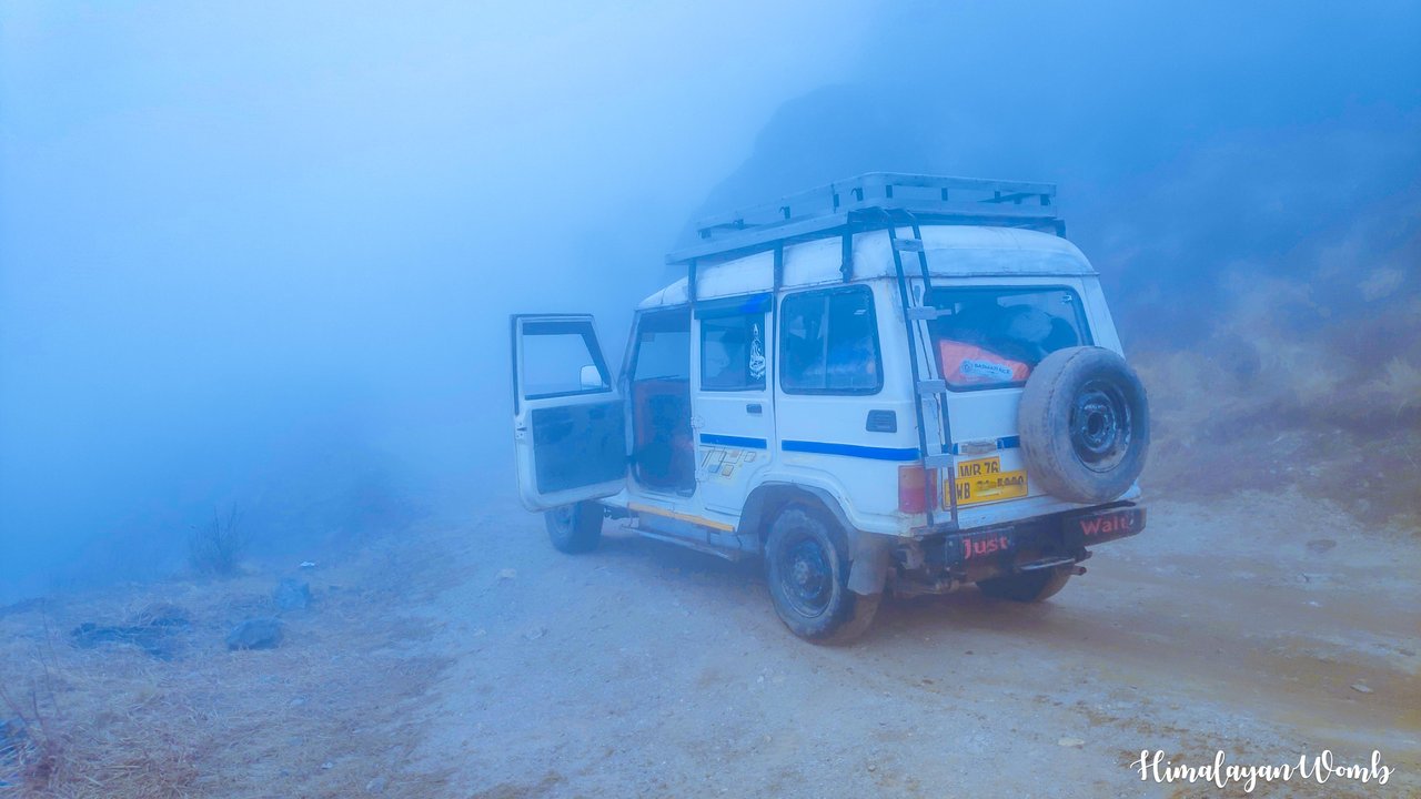
We cross Meghma, Tonglu, Tumling, Garibas and Kalipokhari and reach our destination in the next few hours. Fog is seen on the way, other vehicles are seen, a Land Rover car of British era is seen, trackers are seen going on foot, 2 cyclists are also seen. There is so much fog at some places on the way that visibility becomes very low, but this is the daily work of the drivers here, so they take us to our destination very easily.
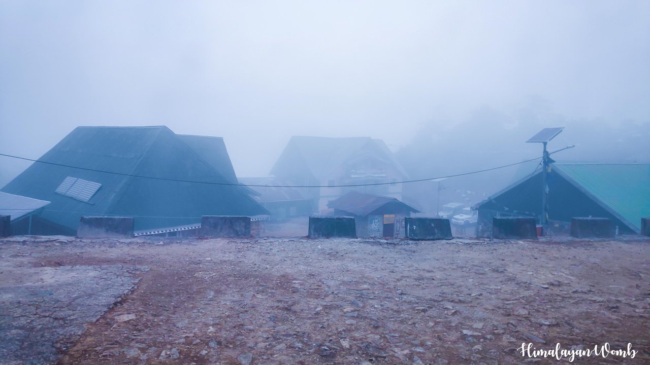
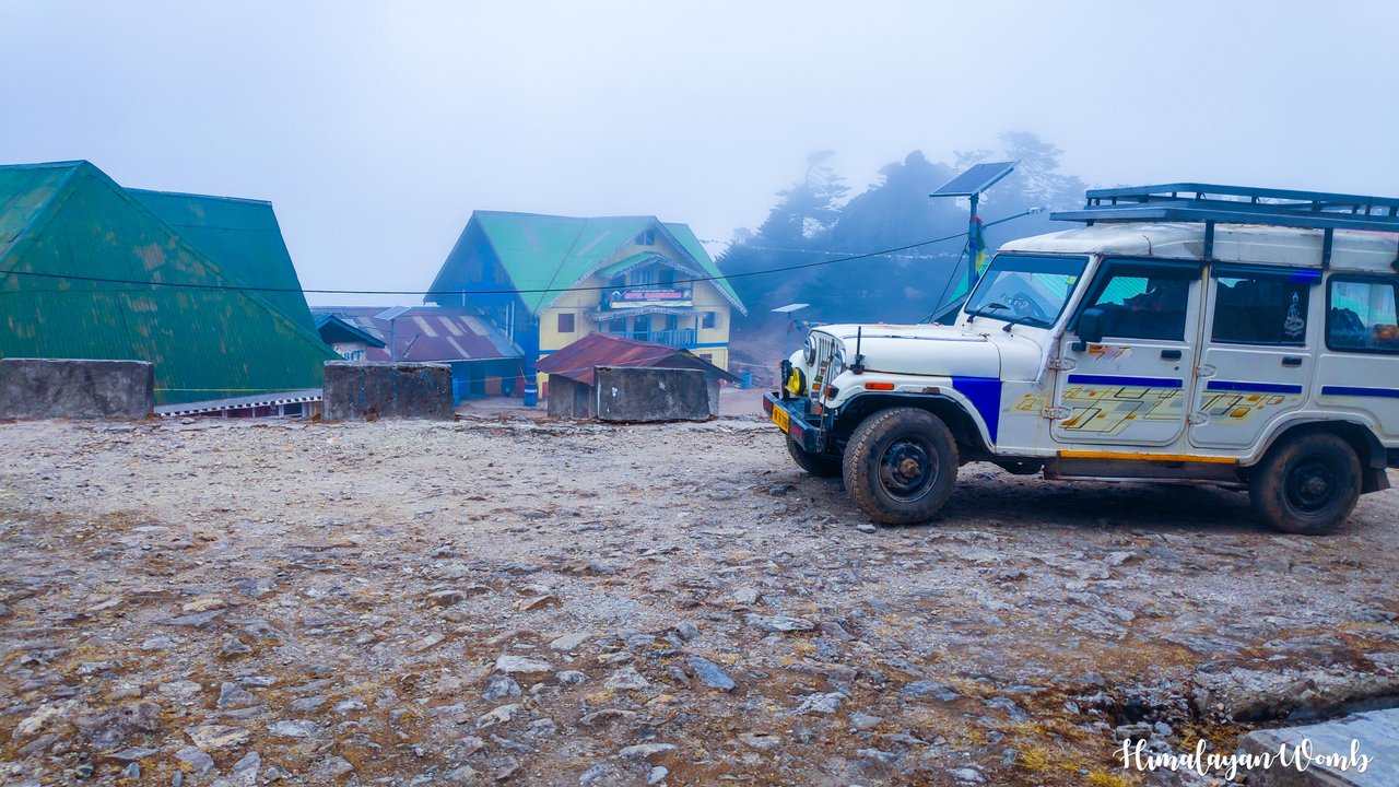
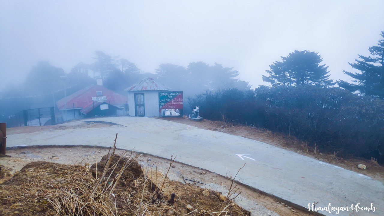
At around 4 in the evening we reach Sankadphu where we take down the hydrograph for tomorrow's race. The car further goes to Thukump, Sabargram and Phalut for the remaining hydration. Now this car will return tomorrow. All four of us are going to stay here tonight and set up a hydration point for the runners at 05:30 tomorrow morning. We keep all the hydration in a store room. We all have lunch and drink hot tea.
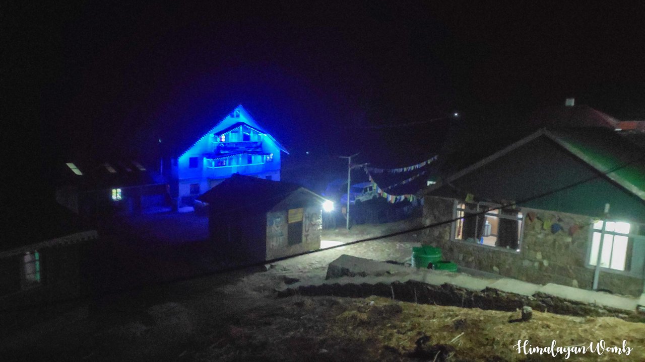
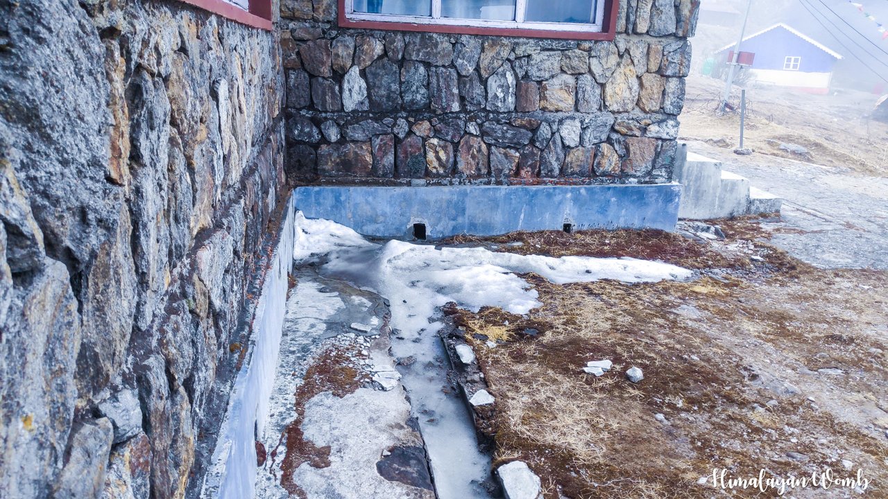
Snow had fallen here a few days ago, the remains of which were still visible today. Due to the altitude being 3636 meters, it is very cold here. The temperature is being reported as 5 degrees whereas it feels like -2. We go to sleep after having dinner at 7 o'clock in the night so that we can wake up early tomorrow morning and complete our work. That's all for today, in the next post where I will show you the highest peak in the world.
Disclaimer: This post is originally written in Hindi and I have used Google Translator to tranlate the Hindi text in English. All the photos have been clicked by me from Andriod smartphone POCO F1 and edited in Lightroom/photoshop.
Comments